Melbourne’s CBD is located on the lands of the Wurundjeri people of the Kulin nations
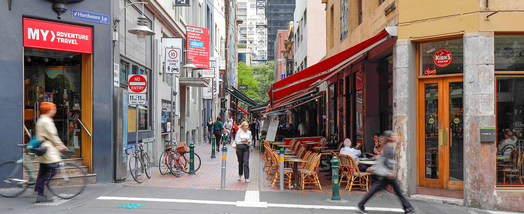
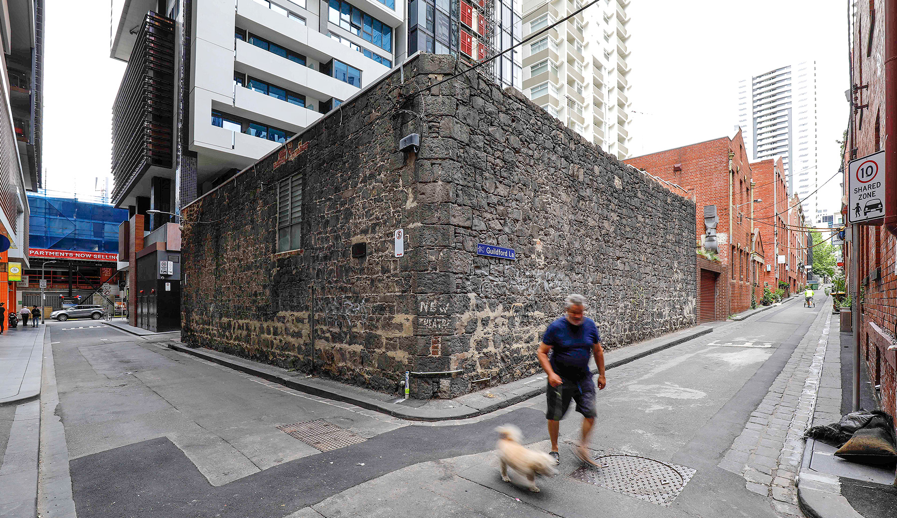
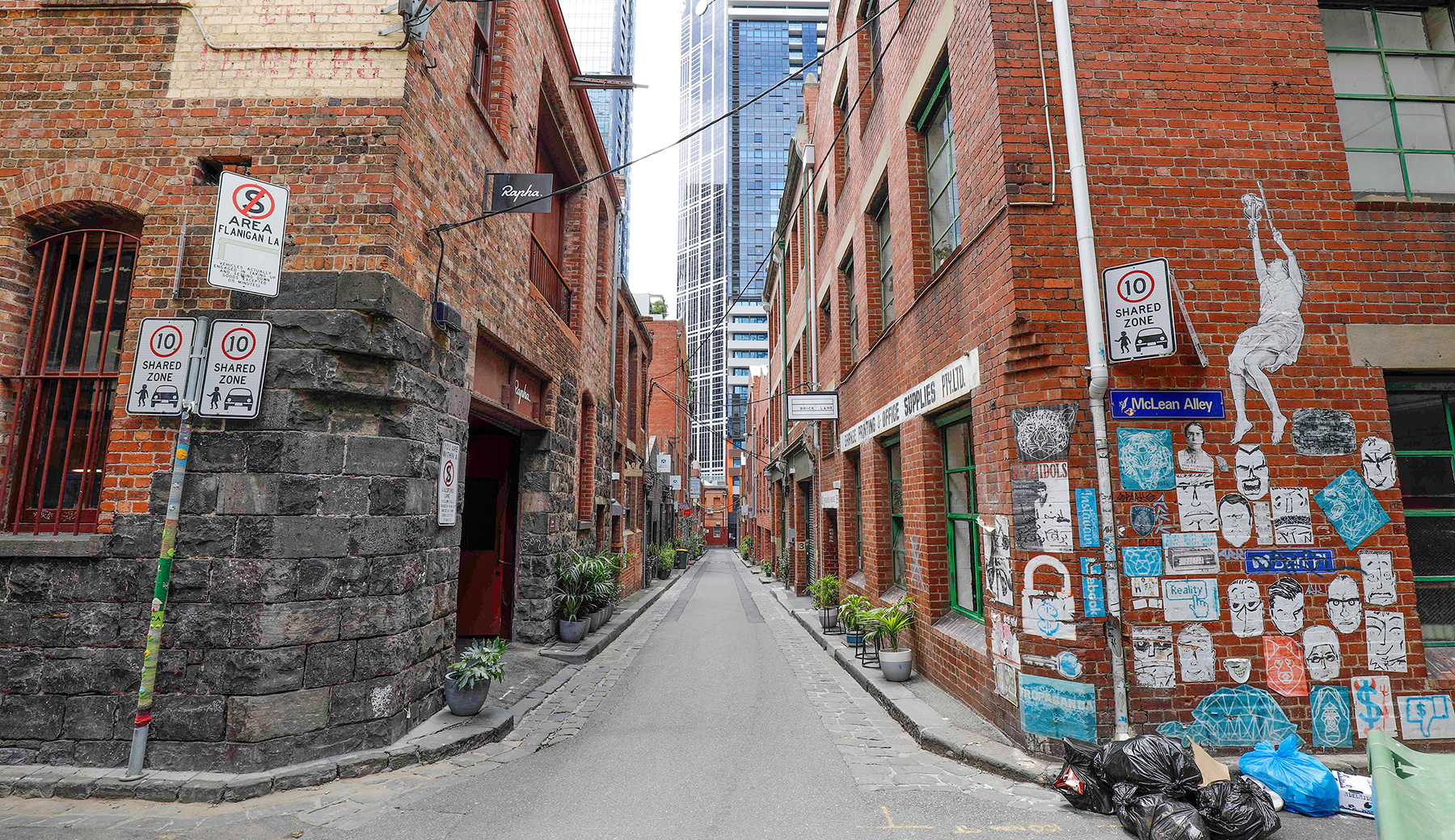
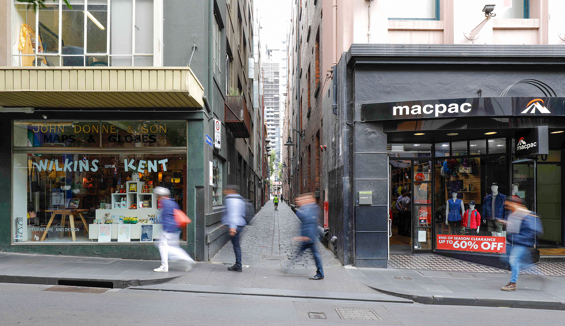
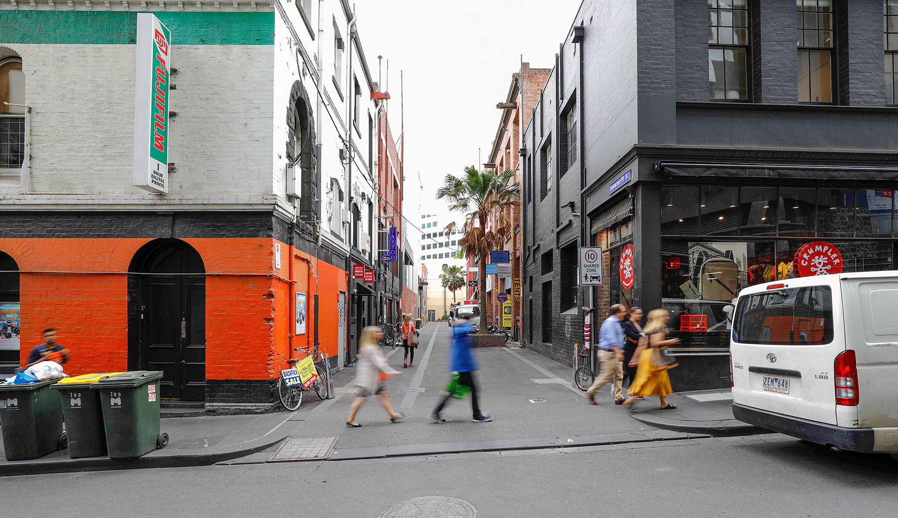
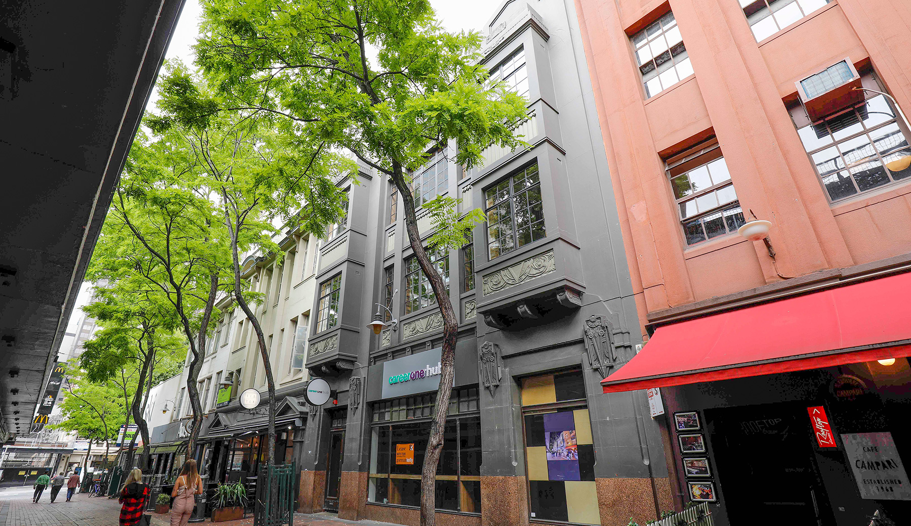
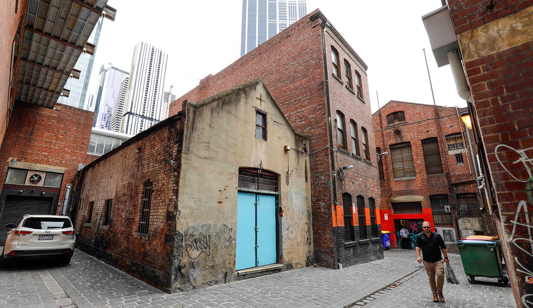
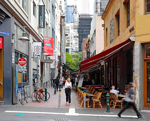
In 2016, Lovell Chen was commissioned to undertake the Guildford and Hardware Laneways Heritage Study for the City of Melbourne, focusing on the five city blocks bounded by La Trobe, Elizabeth, Little Collins and Queen streets in Melbourne’s CBD. The aim was to determine which properties in the study area warranted heritage protection under the Melbourne Planning Scheme.
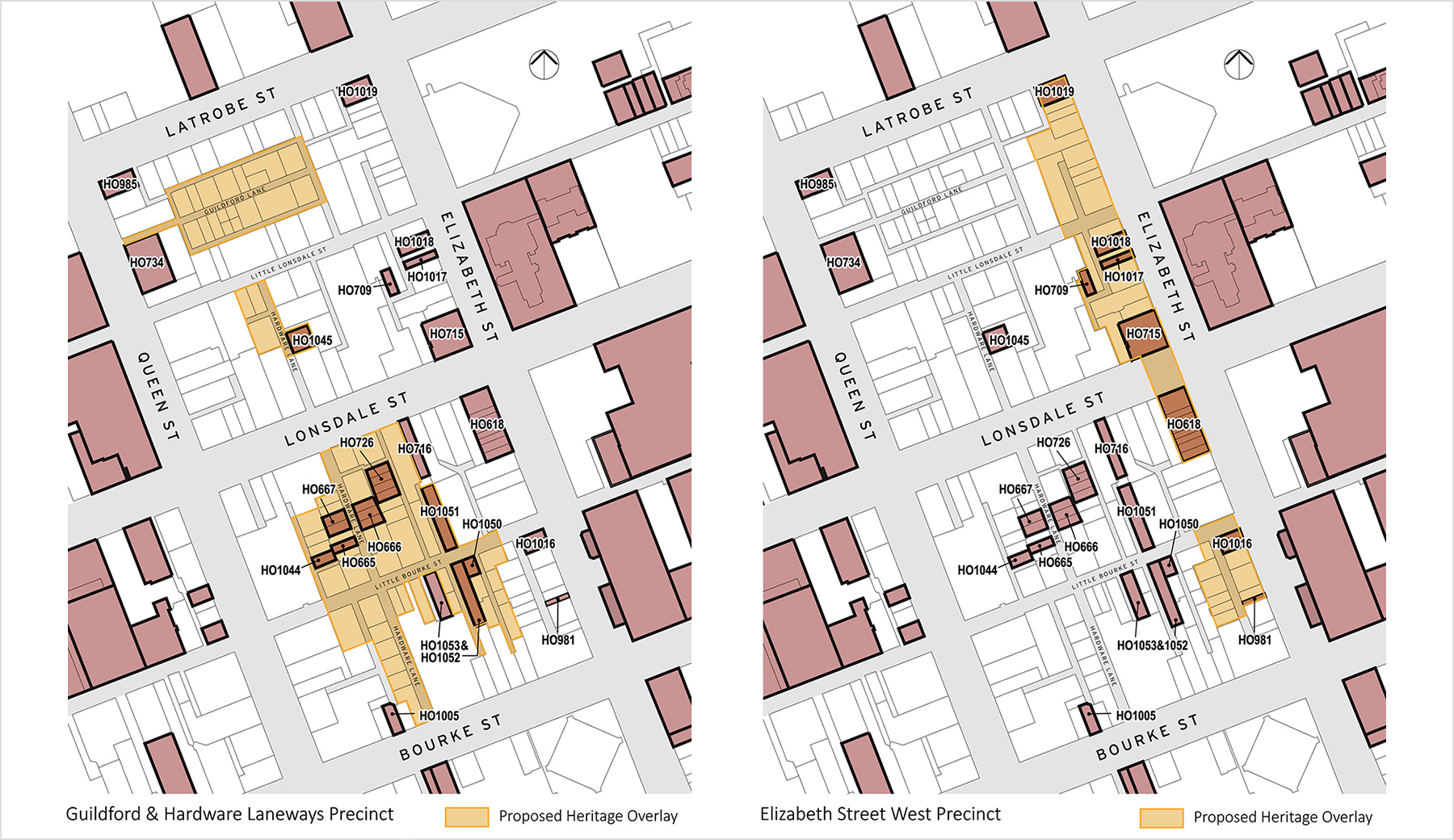
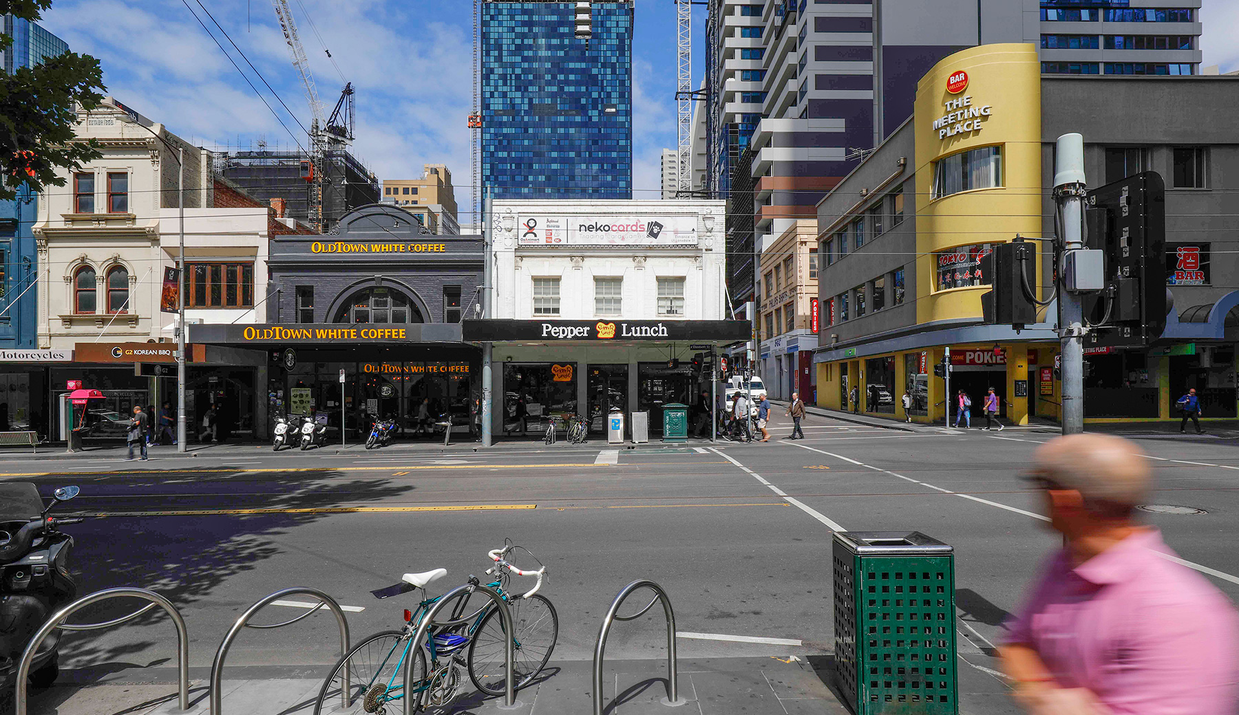
The brief for study anticipated the identification of new individual properties for Heritage Overlay controls, as well as precinct-based (multi-property) areas. The final recommendations listed eight individual buildings and two precincts. Central City Laneways Precinct covers several areas inside the zone bounded by LaTrobe, Little Collins, Queen and Elizabeth streets. Elizabeth Street West Precinct covers the west side of Elizabeth Street between LaTrobe and Bourke, including some areas to the rear.
The principle tasks of the study included the preparation of a project management plan, a review of existing documentation provided by the City of Melbourne, field and survey work, historical research plus information collation, heritage assessment of the significant buildings and precincts identified, and the writing of citations and a Methodology Report. We also reviewed and updated where necessary the citations for properties in the area with existing Heritage Overlay controls. Seven of these were updated.
Our work on the Laneways study in relation to the property gradings was informed by the City of Melbourne Heritage Policies Review, completed by Lovell Chen in 2016. The information provided by the City on existing gradings in the zone used an alphabet-based system, now replaced with a three-level categorisation for relative level of heritage significance — ‘significant’, ‘contributory’ and ‘non-contributory’.
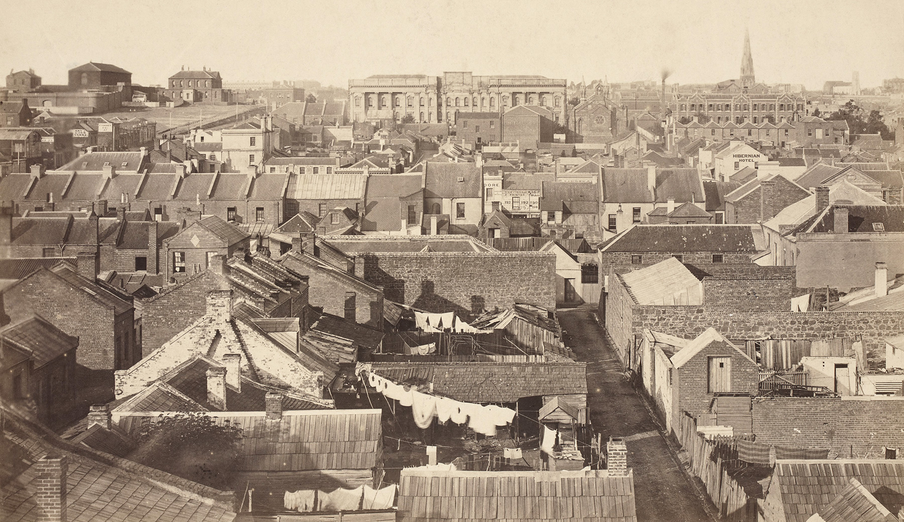
The history of the study area is fascinating, reflecting as it does the history of post-settlement Melbourne. The street layout was set out by Robert Hoddle as part of his 1837 government survey — with wide main thoroughfares and secondary service streets running east-west. The laneway network developed in the nineteenth and early twentieth centuries, mainly running north-south. In 1856 there were 80 named laneways. By 1935, there were 235.
With intense the subdivision of the 1850s gold rush period, many rear lanes evolved into distinct streets, with their own property frontages. In the early period, the lanes continued to service business, hotels and horse bazaars, etc., but individual residences also appeared. By the 1870s, taller buildings are evident and the density much increased. The 1880s-1890s brought another change, from residential to more commercial and industrial uses, bringing the familiar brick warehouses we can see today. From the early twentieth century, the area was popular with printers and publishers. The late twentieth century brought reactivation — bars, cafes, small businesses, retail and nightlife. A kaleidoscope of activity through time.
Photography : Peter Glenane
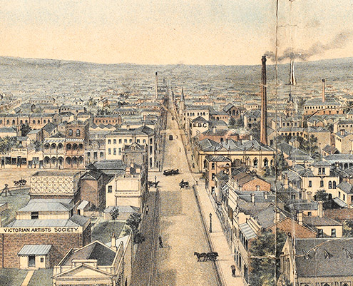
Heritage image : circa 1860 View of Melbourne, courtesy State Library of Victoria
SELECTED REPORTS HELD
full list : see REPORTS INDEX
Guildford and Hardware Laneways Heritage Study
Lovell Chen / MAY 2017 : HERITAGE STUDY
More public spaces projects all projects >

